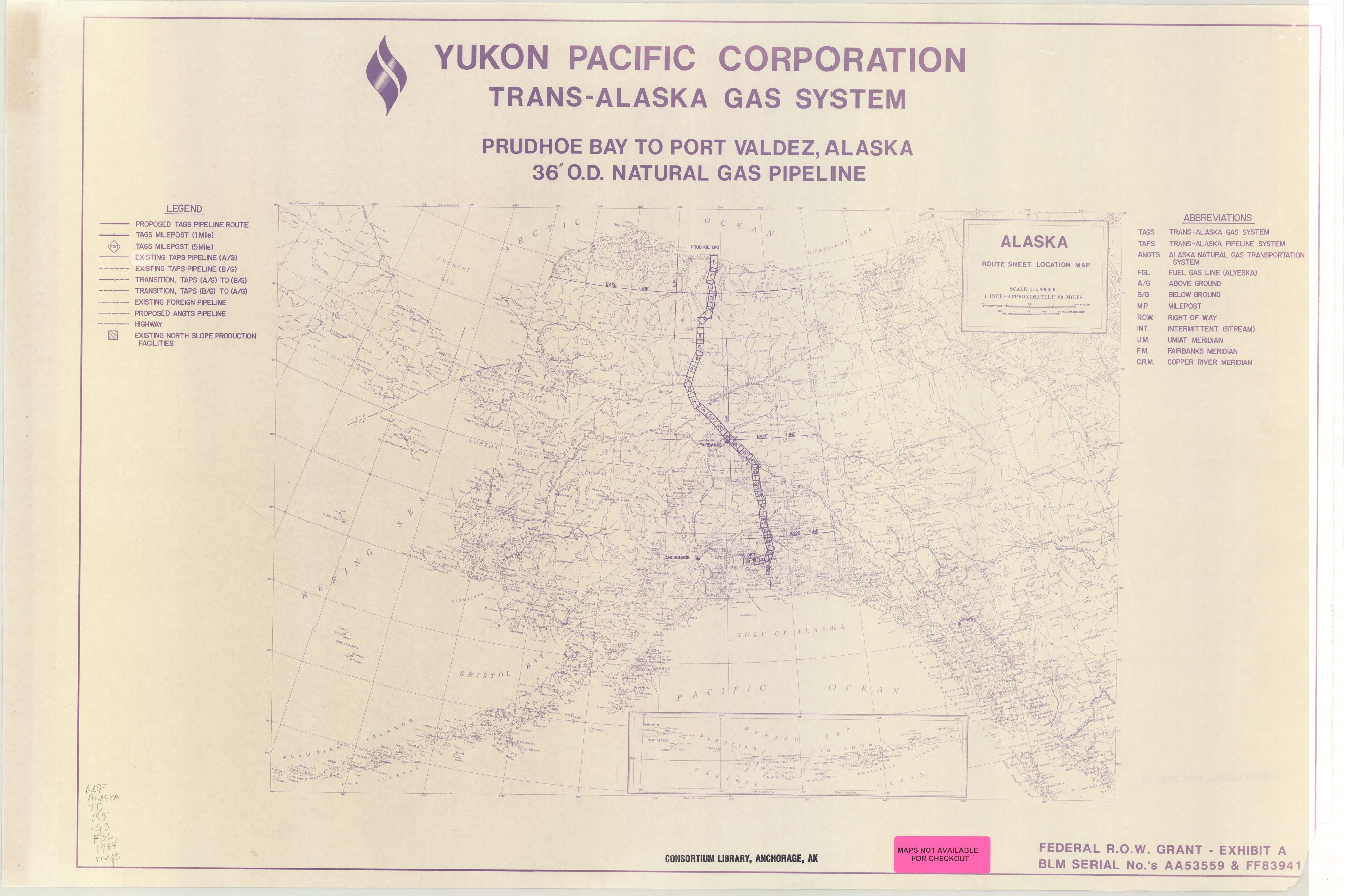
Yukon Pacific Corporation, Trans-Alaska Gas System, Prudhoe Bay to Port Valdez, Alaska, 36" O.D. natural gas pipeline
Saved in:
| Alternate Title: | Trans-Alaska Gas System, Prudhoe Bay to Port Valdez, Alaska, 36" O.D. natural gas pipeline Prudhoe Bay to Port Valdez, Alaska, 36" O.D. natural gas pipeline |
|---|---|
| Main Author: | |
| Document Type: | Map |
| Publisher: | Yukon Pacific Corporation |
| Report Numbers: | AA53559 FF83941 |
| Date: | June 15, 1988 |
| Edition: | Rev. 0 |
| Subjects: | |
| Online Access: | View Full Text |
| Library Holdings: | Print Versions |
| Physical Description: | 32 leaves |
|---|---|
| Notes: | Scale [1:63,360]. Vertical scale [1:2400]. 1" = 1 mile horiz. 1" = 200' vert. (W 151⁰--W 145⁰/N 70⁰25ʹ--N 61⁰). Title from caption on location map. Edition statement from legend on each map sheet. "Federal R.O.W. Grant - Exhibit A, BML serial No.'s AA53559 & FF83941." This atlas was published as Exhibit A to the draft and final editions of: Right-of-way grant for the Trans-Alaska Gas System from the United States of America to the Yukon Pacific Corporation. |