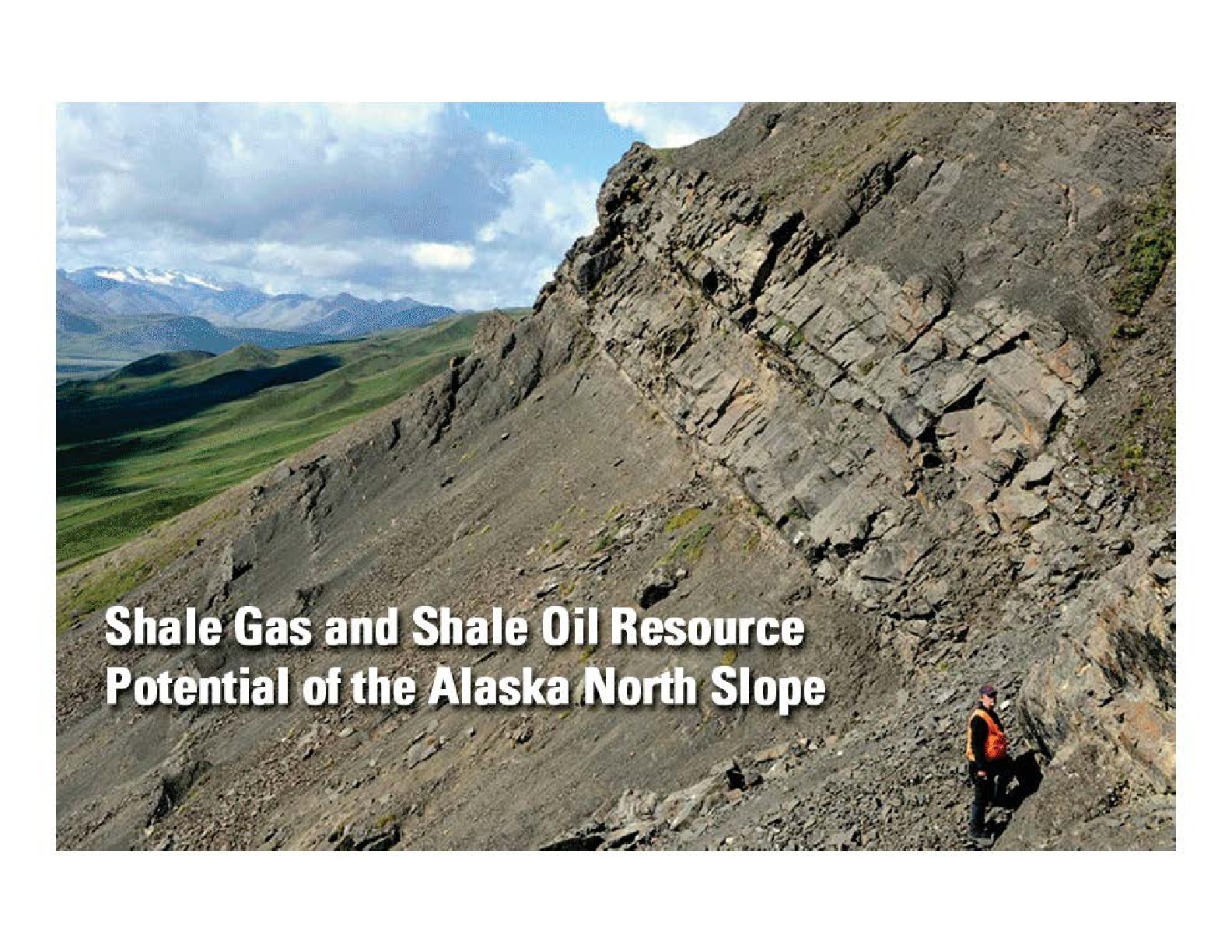
Shale gas and shale oil resource potential of the Alaska North Slope
Three colored maps of the Shublik, Brookian and Kingak systems.
Saved in:
| Alternate Title: | Shublik formation petroleum system elements Brookian Shale petroleum system elements Kingak Shale petroleum system elements |
|---|---|
| Corporate Author: | |
| Document Type: | Map Presentation |
| Publisher: | U.S. Geological Survey (USGS) |
| Date: | February 2012 |
| Subjects: | |
| Online Access: | View Full Text |
| Library Holdings: | Print Versions |
| LEADER | 00917cmm a22002893 4500 | ||
|---|---|---|---|
| 001 | 1462046 | ||
| 003 | SIRSI | ||
| 008 | 120822n2012 000 0 eng u | ||
| 110 | |a U.S. Geological Survey (USGS) | ||
| 245 | 1 | 0 | |a Shale gas and shale oil resource potential of the Alaska North Slope |
| 246 | |a Shublik formation petroleum system elements | ||
| 246 | |a Brookian Shale petroleum system elements | ||
| 246 | |a Kingak Shale petroleum system elements | ||
| 260 | |a U.S. Geological Survey (USGS) | ||
| 518 | |a February 2012 | ||
| 300 | |a 7 p. | ||
| 380 | |a Map | ||
| 380 | |a Presentation | ||
| 546 | |a English | ||
| 520 | |a Three colored maps of the Shublik, Brookian and Kingak systems. | ||
| 653 | |a Prospects | ||
| 653 | |a Shale gas | ||
| 653 | |a Shale oil | ||
| 651 | |a North Slope | ||
| 690 | |a PF-MAP | ||
| 856 | 4 | 0 | |u https://www.arlis.org/docs/vol1/AlaskaGas/Map/Map_USGS_2012_ShaleGasNorthSlope.pdf |
| 596 | |a 10 | ||