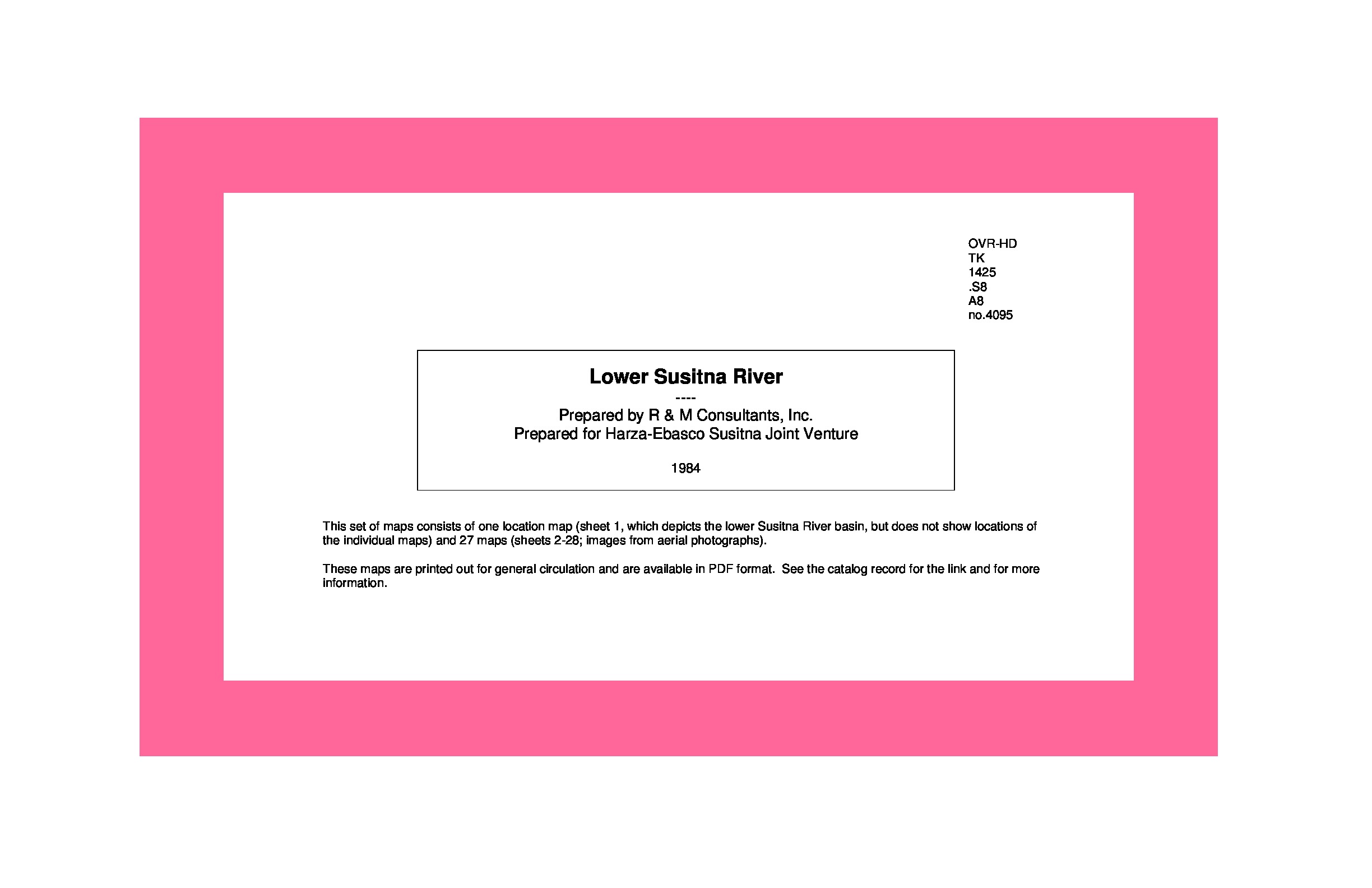
Lower Susitna River /
This set of aerial photographic maps shows the Susitna River from the confluence of the Chulitna, Susitna, and Talkeetna rivers (sheet 2) to the delta in the south (sheet 28). Symbols indicate data locations for continous discharge, miscellaneous discharge, stage, water quality, continuous water tem...
Saved in:
| Alternate Title: | Alaska Power Authority, Susitna Hydroelectric Project. Lower Susitna River |
|---|---|
| Corporate Author: | |
| Corporate Contributor(s): | HARZA-EBASCO Susitna Joint Venture. Alaska Power Authority. Susitna Hydroelectric Project. |
| Publisher: | R & M Consultants, |
| Report Numbers: | APA 4095 |
| Subjects: | |
| Online Access: | Link to Full Text |
| Library Holdings: | Print Versions |
| LEADER | 03048cem a2200613Ia 4500 | ||
|---|---|---|---|
| 001 | 1953943 | ||
| 003 | SIRSI | ||
| 005 | 20160607014353.0 | ||
| 007 | aj aanzn | ||
| 007 | cr cn||||a|||| | ||
| 008 | 130628s1984 aku a 0 eng d | ||
| 040 | |a RLA |b eng |c RLA |d RLA |d OCLCF |d OCLCQ |d RLA | ||
| 034 | 1 | |a a |b 24000 |d W1504500 |e W1500000 |f N0622200 |g N0621800 | |
| 035 | |a (OCoLC)851200438 | ||
| 043 | |a n-us-ak | ||
| 045 | 0 | |b d19830916 | |
| 050 | 4 | |a TK1425.S8 |b A8 no. 4095 | |
| 052 | |a 4372 |b S87 |b T28 |b T29 | ||
| 088 | |a APA 4095 | ||
| 049 | |a RLAA | ||
| 110 | 2 | |a R & M Consultants. | |
| 245 | 1 | 0 | |a Lower Susitna River / |c prepared by R & M Consultants, Inc. ; prepared for Harza-Ebasco Susitna Joint Venture. |
| 246 | 3 | |a Alaska Power Authority, Susitna Hydroelectric Project. |p Lower Susitna River | |
| 255 | |a Scale [1:24,000]. 1ʺ = 2000ʹ |c (W 150°45ʹ--W 150°/N 62°22ʹ--N 61°18ʹ). | ||
| 260 | |a [Alaska] : |b R & M Consultants, |c [1984] | ||
| 300 | |a 28 maps ; |c 28 x 43 cm | ||
| 336 | |a cartographic image |b cri |2 rdacontent | ||
| 337 | |a unmediated |b n |2 rdamedia | ||
| 338 | |a sheet |b nb |2 rdacarrier | ||
| 500 | |a Title from legend of location map. | ||
| 500 | |a At head of title: Alaska Power Authority, Susitna Hydroelectric Project. | ||
| 500 | |a "Date of photography Sept. 16, 1983." | ||
| 500 | |a "Date 2-7-84." | ||
| 500 | |a Consists of one location map (sheet 1) and 27 maps (sheets 2-28; images from aerial photographs). | ||
| 530 | |a Available also in electronic format on the Internet. | ||
| 500 | |a The location map depicts the lower Susitna River basin, but does not show locations of the individual maps. | ||
| 510 | 3 | |a Alaska Resources Library and Information Services has assigned APA no. 4095 to this document for the Susitna Hydroelectric Project collection. | |
| 520 | |a This set of aerial photographic maps shows the Susitna River from the confluence of the Chulitna, Susitna, and Talkeetna rivers (sheet 2) to the delta in the south (sheet 28). Symbols indicate data locations for continous discharge, miscellaneous discharge, stage, water quality, continuous water temperature, water temperture, suspended sediment, bedload, bed material, cross section, and thalweg profile. | ||
| 651 | 0 | |a Susitna River (Alaska) |v Maps. | |
| 650 | 0 | |a River surveys |z Alaska |z Susitna River |v Maps. | |
| 610 | 2 | 0 | |a Susitna Hydroelectric Project |v Maps. |
| 651 | 4 | |a Talkeetna quadrangle (Alaska) | |
| 651 | 4 | |a Talkeetna Mountains quadrangle (Alaska) | |
| 651 | 4 | |a Tyonek quadrangle (Alaska) | |
| 610 | 2 | 7 | |a Susitna Hydroelectric Project. |2 fast |0 (OCoLC)fst00592845 |
| 650 | 7 | |a River surveys. |2 fast |0 (OCoLC)fst01098307 | |
| 651 | 7 | |a Alaska |z Susitna River. |2 fast |0 (OCoLC)fst01246005 | |
| 655 | 7 | |a Maps. |2 fast |0 (OCoLC)fst01423704 | |
| 710 | 2 | |a HARZA-EBASCO Susitna Joint Venture. | |
| 710 | 2 | |a Alaska Power Authority. | |
| 710 | 2 | |a Susitna Hydroelectric Project. | |
| 856 | 4 | 1 | |u https://www.arlis.org/docs/vol1/Susitna/40/APA4095.pdf |z File size: 44 MB. |z ARLIS Document Server |
| 596 | |a 9 10 | ||
| 098 | |a APA 04095 | ||