
|
 |
| Grade Level: 6-12 |
| Alaska State Content Standards: GeoA1, GeoE4, GeoE5, GeoE6, GeoF3, GovG3 |
| Subject:Geography, Government |
| Skills:Description, Evaluation, Generalization, Problem-Solving |
| Duration: 1 class period |
| Group Size: individual |
| Setting: indoors |
| Vocabulary: The Alaska Wildland Fire Coordinating Group (AWFCG), critical management option, full management option, modified management option, limited management option |
OBJECTIVE
Students describe fire management plans and the criteria used to develop them.
TEACHING STRATEGY
Students develop their own fire management plan.
MATERIALS
![]() Fire Protection Map or
Fire Protection Map or
a USGS topography map of your area
Markers
ADVANCED PREPARATION
To obtain a USGS topography map of your area, call 1-888-ASK-USGS.
TEACHER BACKGROUND
Refer to background
Wildfire Management Options
Lands are divided into four fire protection categories or Management Options based on the
resource values to be protected, as determined by the respective landowners and managers. When fires do occur, the Alaska Fire Service (sponsored by USBLM), ADNR Division of Forestry, and USFS are jointly responsible for providing suppression services. The 4 categories include:
- Critical Management Option - This category is assigned to lands where human lives and property require that immediate, top priority fire protection be provided. Fires on these lands will be given unquestioned priority in the allocation of fire-fighting funds, manpower, and equipment. Fires will be immediately and aggressively suppressed.
- Full Management Option - Areas in this category include lands with high cultural or historical values or other resource values that landowners or managers determine to need fire protection. These lands are generally uninhabited. On lands classified for full protection, all fires will be aggressively fought throughout the fire season.
- Modified Management Option - This category can serve as a buffer area between Full Protection and Limited Action areas. It includes lands where fire protection is needed during critical burning periods (unusually dry months), but where fires are otherwise desirable. On these sites, immediate fire fighting action is taken if conditions indicate that a large fire could occur (generally during the first and drier part of each fire season). If the fire cannot be contained the first day, an escaped fire situation analysis (EFSA) will be made to determine levels of continued action. When the danger is deemed low due to wetter conditions, no initial attack is made on new fire starts, and these lands are treated much like those in Limited Action areas. This generally occurs later in the fire season, historically after July.
- Limited Management Option -This category recognizes those areas where a near-natural fire regime is desirable, or where the resource values at risk are worth less than it would cost to launch a fire fighting effort. On these lands, fires are only monitored unless they threaten lands in other higher valued categories or critical sites within the area. Suppression action then will be taken if the responsible land management agency deems it necessary. Limited Action areas are usually found in the remote parts of the state, far removed from any human development.
These fire plans are followed whenever possible. During severely dry years there may be so many fires that not all can be fought at their designated level due to lack of manpower or funding.
PROCEDURE
- Write brief summaries of each fire management category on the board, or make an overhead, for the students to use for reference. For each category assign a color code for groups to use to mark their maps.
- Divide the class into groups of 4‑5 students and give each group a copy of the Fire Protection Map, or a USGS topography map (1: 63,360) of your area. Each group should assign its members responsibilities (one student records, one student leads the discussion, all participate using quiet voices).
- Students will first mark those areas that are important to humans on the map. These may be villages, cabins, or private land.
- Using the four fire management options, each group will take 10‑15 minutes to develop a fire plan they feel would best manage the land and its resources. The description of each category written on the board will help them decide which areas on their map should be assigned to that category. Color each area according to the fire protection category assigned by the fire plan.
- Ask each group to present and explain their plan to the class. Encourage the class to ask each group questions about their plan.
EVALUATION
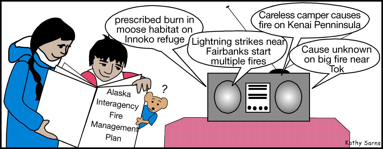
Obtain a copy of the real fire management plan for your area and discuss it with the class. This plan can be obtained from the State of Alaska Division of Forestry Fire Management’s web site (http://www.dnr.state.ak.us/forestry). The fire management plan should be available from the agency or organization that manages the lands in your area. They may also be willing to come to your class and explain the plan.
| Printable version | Add to favorites | Make Alaska FWS my homepage |
| Site designed and maintained jointly by the USFWS Alaska Region Division of Information Resource Management (IRM) and External Affairs (EA). |