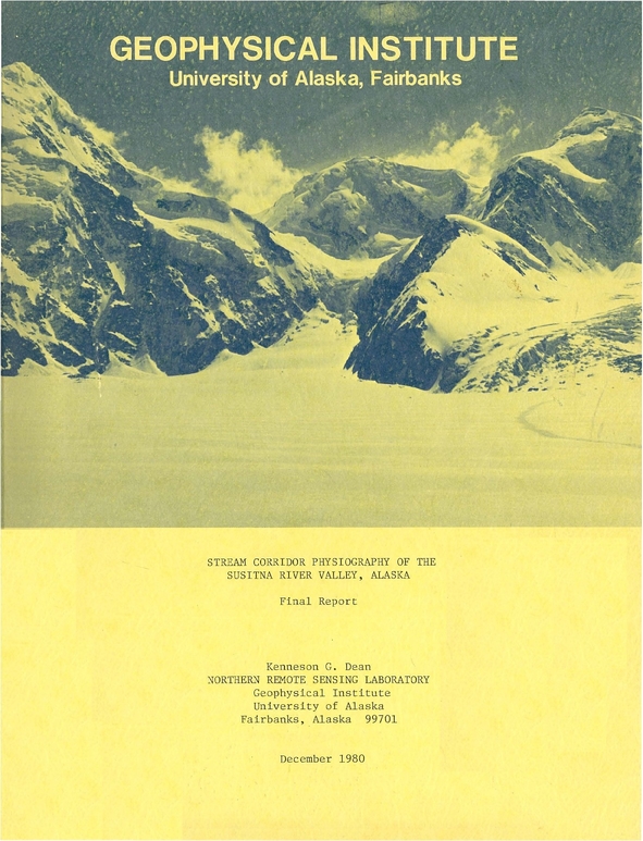
Stream corridor physiography of the Susitna River Valley, Alaska : final report /
Landforms were studied and mapped along the Yenta, Susitna, Skwenta, and Kahiltna rivers and Lake Creek in the valley of the Susitna River basin. The purposes are (1) to provide land managers with a database to establish riparian management zones for protecting fish and wildlife and their habitats f...
Saved in:
| Main Author: | |
|---|---|
| Corporate Contributor(s): | University of Alaska Fairbanks. Northern Remote Sensing Laboratory, Alaska. Department of Fish and Game. |
| Publisher: | Northern Remote Sensing Laboratory, Geophysical Institute, University of Alaska, |
| Report Numbers: | APA 4163 |
| Subjects: | |
| Online Access: | Link to Full Text |
| Library Holdings: | Print Versions |
| Summary: | Landforms were studied and mapped along the Yenta, Susitna, Skwenta, and Kahiltna rivers and Lake Creek in the valley of the Susitna River basin. The purposes are (1) to provide land managers with a database to establish riparian management zones for protecting fish and wildlife and their habitats from disturbance and (2) to compare the minimum size of floodplains and floodplain categories derived from aerial photography to that derived from Landsat imagery. |
|---|---|
| Physical Description: | ii, 20, 3 leaves : illustrations, map ; 28 cm. |
| Notes: | "December 1980." "NASA-AMES Research Center Consortium Agreement #NCA2-ORO20-001 in conjunction with the Alaska Department of Fish and Game." |
| Bibliography: | Includes bibliographical references (leaf 20). |
