| |
 Property
Name Property
Name- Sealevel
- MAS Number
- 0021200026
- Location
- 120B4, NW18, 75S, 94E
- Land Status
- Federal
- Deposit Type/Commodities
- Vein: Au
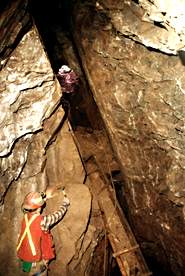
- Workings
- 2 Shafts w/ drifts: 365m (flooded); 2 adits: 9m,
(1 caved); T(s)
- Production
- N/A
- Significant Results
- Quartz veins w/ free-milling Au, and pyrite, galena,
sphalerite, in mafic metavolcic rocks; mineralization in ore shoots
along veins; Au also in pyritized volcanics in adjacent veins
- Select References Bibliography,
NOTE: this document will open in a second browser window)
- Brooks, 1902
- Bufvers, 1967
- LaBau, 1950
- Roehm, 1936 (May)
- Roppel, 1971
- Wright et al, 1908
Low-Sulfide
Vein-Gold Deposit Map | Ketchikan Mining District
Map | Home
|